|
|
|
|
|
|
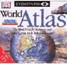
Eyewitness World Atlas
|
|

|
|
From the global “big picture” to the smallest territory, you can view the world through compelling cartographic maps, dazzling images, and exciting 3D graphics. Or you can search the extensive database that contains the demographic information of an almanac and the cultural and political coverage of an encyclopedia. Eyewitness World Atlas is a visually stunning and information-rich reference atlas.
Booklist: "A superb school resource, this title enables students to explore countries, zooming in on political maps or comparing data on education rates among nations. General information as well as specific data (health, resources, tourism, world affairs, politics, etc.) can be examined for each country. In addition, a historical chronology for each nation is included so that today's world can be seen in perspective with the past. Maps, text, charts, and screens can all be printed or copied. A mouse click reveals the information source, and a complete glossary explains geographical terms. Online connections provide a direct link to related Web resources. Highly recommended. “
T.H.E. Journal: "Gives you an unique view of the world by using 3-D real-time graphics to explore and fly around the world. [T]his title is a very good resource .. and takes a very unique approach to world geography.”- T.H.E. Journal
Ages 12 up
|
|

|
|
WIN 95 98 ME XP
|
|

|
|
$19.99
|
|

|
|
A0287JCW
|
|

|
|
|
|

|
|
|
|

|
